Fly Fishing in the High Uintas of Utah
The Uintas range east and west for 150 miles across northeastern Utah; the core 55 miles of this wrinkled ridgeline rarely drops below 11,000 feet, with at least a dozen major summits soaring to over 13,000 feet (including Kings Peak, Utah's highest point at 13,528 feet.). Hundreds of glacially carved lakes dot small and large basins, some as high as 12,000 feet, others hidden in dense spruce and fir forests.
The Uintas harbor the headwaters of all of Utah's major river systems--the Provo, the Weber, Bear, and the major tributaries to the Green, the Duchesne, Uinta and Yellowstone. Each drainage is identifiably unique, from the broad green meadows of the West Fork of Blacks Fork and the deep canyon of the Uinta to the timbered slopes of the Yellowstone.
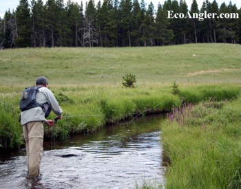
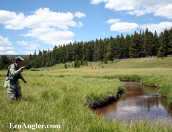
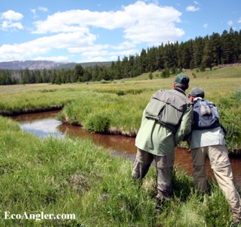
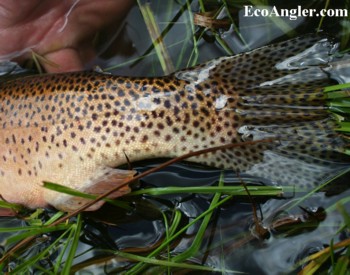
The North Slope is a gentle, almost plateau-like region of lodgepole pine forests surrounding meandering open parklands and high mountain meadows. River bottoms are wide and filled with willows, potholes and beaver ponds. And along the North slope (which is part of the Green River drainage) run streams that still hold native Colorado River cutthroat.